Home |
Back to "Mountains" |
Back to "Expeditions" |
Map sketch |
Height diagramm |
Practical information |
Deutsche Version |
 Slideshow |
print version (no menus) |
Chile - Deserts and Volcanoes
Short version of our travel report Chile 1994(C) Hartmut Bielefeldt 1994
| Quick overview - mountains | ||
| Cerro Jorquencal | 4971 m | |
| Tatio | 5215 m | |
| Volcán Licancábur | 5916 m | |
| Cerro Corona | 5291 m | |
| Ojos del Salado | 6893 m | up to 6100 m |
| Volcán San José | 5800 m | up to 3500 m |
| Volcán Llaima | 3124 | |
| Volcán Osorno | 2660 m | |
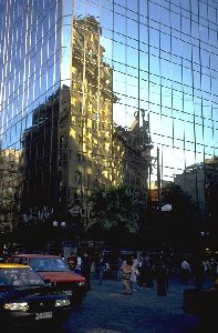
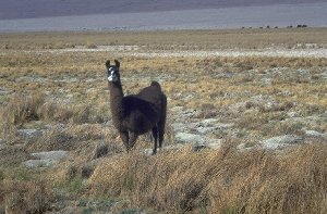
We spend our vacation '94 in the last corner of the world - el último rincón del mundo. While it is slowly becoming colder and darker at home, in Chile we can enjoy the spring and interesting mountains. After a 20-hour flight we arrive in Santiago, the smoggy capital. Five million people are living here, out of only 13 million total inhabitants of Chile. Not astonishing that one hardly finds any larger village on the journey to the north. The 22-hour bus trip to Calama, an oasis in the Atacama desert, is cheap and very comfortable. The landscape is impressive due to an unbelievable monotony - 400 kilometers with no trees, no people, even no grass. Above 3000 m altitude we find vegetation again: first cactuses, then the hard Puna grass, which one shouldn't mix up with the small cushion-shaped cactuses. And of course we find here, between Llamas and Guanacos, also nice mountain characters like the schoolbook volcano Licancábur (5916 m). When climbing it, it appears more as a horrible heap of scree, since the mountains are free of snow up to above 6000 m in this region. Nevertheless mountaineering is quite interesing in this environment; sometimes one can "make" a 5000m peak from the road as a half-day trip.
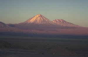
Volcano Licancábur (5916 m), seen from the oasis San Pedro de Atacama.
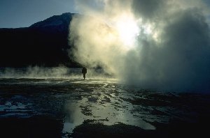
Tatio Geysers
After an icy cold night (-15°C) in the high plain, the hot waters of the Tatio
Geysers offers a bit of warmth, and some hours later we visit the salt lake
Salar de Atacama. This is a 50 kilometers long plain consisting of almost pure
salt, and right in its middle flamingos which apparently have to live from
disgustingly salty insects.
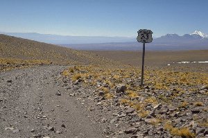
An impression of the international road to Paso Huaytiquina
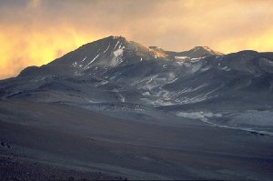
Ojos del Salado from about 10 km distance
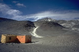
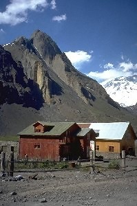
The lower hut at Ojos del Salado
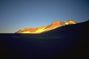
Nevado El Muerto. The white parts are sand, not snow.
Next station: Santiago and the Andes chain behind the city. Here we encounter almost winterly conditions. So no thought about one of the 5000 or 6000 meter peaks here. But the scenery is nice, it's completely quiet - a six thousand meter peak just two hours away from the city is something we'd like to have at home, too.
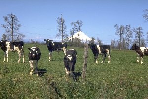
Change of scene to the south. That's relative, as Chile is 5000 km long, and the southernmost 2000 km consist of isolated islands and stormy Patagonia which is worth a separate vacation (if there once were good weather). We restrict ourselves to the continental part stretching thousand kilometers to the south from Santiago. The moutains here are by far not as high as those further north, mostly 2500 to 3000 meters. But heigh isn't all: It's a beautiful experience to climb one of these marvellously formed volcano cones which is covered with good firm snow, welcoming us on the top with lots of gas clowds escaping from the ground. One just has to take care not to step into one of the holes in the snow opened by the hot gas, they are dangerous as glacier crevasses. The landscape mainly consists of many single volcano cones standing around, appearing very strange to us Europeans. Down again, it looks almost like at home: cows on green meadow, but the volcanoes in the background don't fit into the Bavarian impression at all.
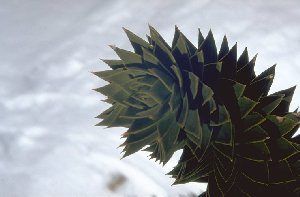
Those are the "needles" of the Araucaria tree - something in between needles and leaves.
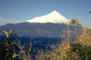
Volcán Osorno seen from Lago Llanquihue
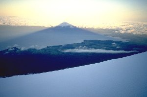
The shadow of Osorno falls over Lago Llanquihue
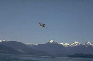
Condor over Lado Todos Los Santos
© Hartmut Bielefeldt 1997 (english version)
Remarks:
We (as a two person team) organized this trip completely on our own, on a very short-term basis. It would be a pleasure for us to give you hints to plan your own trip; possibly also the WWW links might be useful.
Email:Hartmut Bielefeldt
Home |
Back to "Mountains" |
Back to "Expeditions" |
Map sketch |
Height diagramm |
Practical information |
 Slideshow |
Deutsche Version |
![]() This page is confirmed to comply with the HTML 4.0 standard.
This page is confirmed to comply with the HTML 4.0 standard.
Last updated November 13, 1997 by Hartmut Bielefeldt
