| Home |
| Mountains |
| Alps |
| Wallis 2000 |
| Täschhorn |
| Nadelgrat |
| Dent d'Hérens |
Home |
Back to "Mountains" |
Back to "Alps" |
Part 1: Dom/Täschhorn |
Part 2: Nadelgrat |
Deutsche Version |
print version (no menus) |
Wallis August 2000
Part 3: Dent d'Hérens
Dent d'Hérens from Rifugio Aosta (normal route)
Trip report
August 14-15, 2000
Monday, August 14, 2000: Ascent to Rifugio Aosta
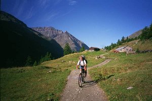
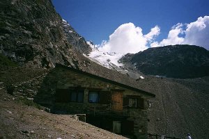
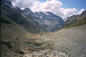
We spent Sunday in the swimming-baths in Visp, and in the evening we crossed the Grand-St-Bernard to Valpelline. From Lac de Place Moulin we use the bicycles for the first 6 kilometers where hardly and height is gained. From the Alp of Prayarer the hut access to Rifugio Aosta takes another three hours.Tuesday, August 15, 2000: Dent d'Hèrens, and descent to the valley
The places under the roof where a little restricted in height, but the comfort to the side was not comparable to Mischabel or even Domhütte. Considering our wake-up time of 3 a.m., we could talk about having slept really reasonably.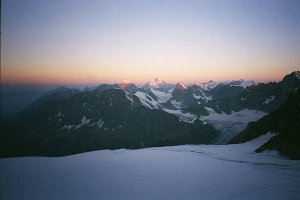 Early morning at 3400 m. |
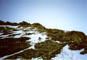 At the ridge; the terrain is steeper than it seems at first glance. |
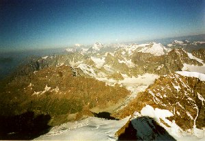 The view is broadening: Grand Combin, and behind it, Mont Blanc. |
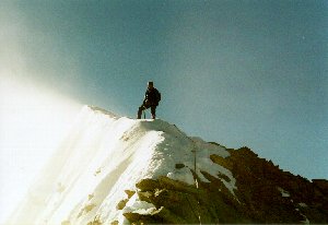
The last pitch is exposed but easy. |
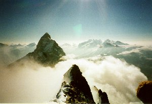 An unusual view of Matterhorn. |
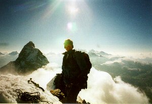 The same again, this time with successful climber (unfortunately obscuring the beautiful crest ;-). |
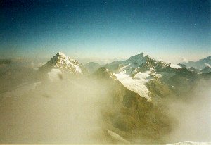 Dent Blanche, Weisshorn and many other old friends. | |
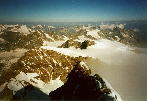 Far view to all directions: westward (Tête de Valpelline) |
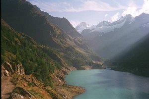
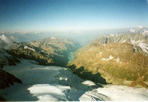 Deep below us: Lac de Place Moulin. |
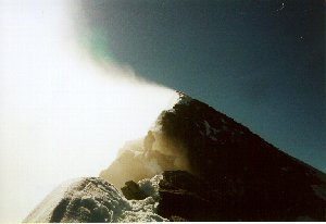 The cloud in the lee of the summit crest creates a unique atmosphere. 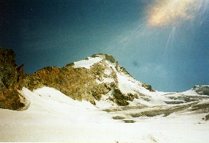 The summit seen from 3300 m. |
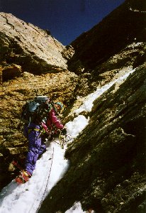 Back to reality: Climbing down the scree flank. |
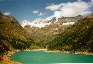 Far away again, our last view back. |
From Prarayer once again we profit from having taken our bikes with us, the 6 km are done within half an hour.
Practical hints
Rifugio Aosta CAI (2788 m)
Tel. +39-0165-730006 (Attention: the first "0" must now also be dialed)From Prarayer about 3 hours. The uppermost part of the way is partly exposed acrobatics at chains.
Dent d'Hérens normal route (PD)
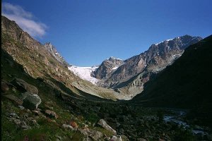
From Rif. Aosta one first descends a little, then follows an obvious path up the moraine to the glacier, about 3100 m. Keeping left, one ascends through easy terrain, further crossing the glacier step at 3300 m (several crevasses) and, passing underneath Tiefmattenjoch, through a wide basin, then over another steep step to the base of the ridge that stretched south from Dent d'Hérens (P.3772).From here leftward, keeping under the bergschrund until it can be easily crossed. Straight up about 30 meters, then to the left into rather easy, but loose terrain. Now the acsent follows a more or less distinct trace (some small steps II) in order to reach the Swiss-Italian border ridge at about 3960 m.
Further a little on the Swiss side, first scree and snow, later more rock with some pitches II (slabs, here a chain is fixed for abseil, at the left side). Soon the main crest is reached, and on the crest one surprisingly easily (I) reaches the summit.
Our times
| 14.08. | 08:35 | Lac de Place Moulin | 1968 | km 0.00 | ||
| 09:15 | Prayayer | 2040 m | km 6.00 | |||
| 09:20 | Prarayer | 2040 | km 0.00 | |||
| 10:30 | 10:40 | before the step to Tsa de Tsan | 2300 m | km 3.50 | ||
| 12:15 | Rifugio Aosta CAI | 2788 m | km 6.00 | |||
| 15.08. | 03:35 | Rif. Aosta | 2788 | km 0.00 | ||
| 04:20 | 04:30 | at the glacier | 3100 m | km 1.20 | ||
| 05:30 | 05:35 | P.3337 | 3337 m | km 2.20 | ||
| 06:55 | 07:05 | below the steep face | 3720 m | km 3.80 | ||
| 08:05 | at W ridge | 3960 m | km 4.20 | |||
| 09:10 | 09:15 | Dent d'Hérens | ^ | 4171 m | km 4.60 | |
| 11:00 | below the steep face | 3720 m | km 5.40 | |||
| 11:45 | 11:50 | at the glacier | 3100 m | km 8.00 | ||
| 12:15 | 12:45 | Rif. Aosta | 2788 m | km 9.20 | ||
| 14:30 | Prarayer | 2040 m | km 15.20 | |||
| 14:35 | Prarayer | 2040 | km 0.00 | |||
| 15:10 | Lac de Place Moulin | 1968 m | km 6.00 | |||
| Distances made by bicycle are indicated by | dark green shading | . |
Maps and guides
Guidebooks (in German):- SAC, "Hochtouren im Wallis" (CD-ROM, 1998), Routes 308 (way to the hut), 346
- SAC, "Walliser Alpen 3" (1993), Routes 51 (way to the hut), 1061
- 1:50000 LKS 283S "Arolla", (293 "Valpelline" (way to the hut))
- 1:25000 LKS 1347 "Matterhorn"
Home |
Back to "Mountains" |
Back to "Alps" |
Part 1: Dom/Täschhorn |
Part 2: Nadelgrat |
Deutsche Version |
print version (no menus) |
© 2000 Hartmut Bielefeldt
![]() This page is confirmed to comply with the HTML 4.0 standard.
This page is confirmed to comply with the HTML 4.0 standard.
Last updated August 09, 2002 by Hartmut Bielefeldt
